Ottawa in 2050: More rainy days and heavy rain events

Ottawa has seen increased rainfall over the past decades, especially in spring and fall. As our climate warms, these trends will continue. There will be an increase in both the amount and intensity of rain, including in winter months.
What we are expecting
By the 2050s, under a high-emission scenario, precipitation in the National Capital Region is projected to change in the following ways.
- Increase in total precipitation (except in summer) – the total amount of precipitation (rain and/or snow) will increase in spring, winter and fall by eight per cent. Rainfall in summer (June – September) will not increase.
- Wet days will be wetter – although the total annual precipitation will increase, this precipitation will be concentrated within the same number of ‘wet days’. The maximum amount of precipitation that falls in one day will increase by 15 per cent.
- Increase in freezing rain – the colder months will likely see more freezing rain due to the increase of days around zero degrees Celsius. Freezing rain in spring and fall will likely decrease.
You can find out more details of what to expect in the 2030s and 2080s in the Summary of the Future Climate in Canada’s Capital Region.
What are the top risks from more intense rainfall and flooding
- Flood damage – more intense rainfall can overwhelm sewer systems and increase the risk of flooding in our streets and homes. Riverine and inland flooding can damage or reduce access to roads, transit, pathways, property and other infrastructure. Increased precipitation can also damage and overwhelm stormwater, wastewater and flood protection infrastructure.
- Mental, physical and financial health – flooding negatively impacts the health of those directly affected. It can also cause mold and contaminate private wells and septic systems.
- Reduced agricultural yields – more variable rainfall and the risk of flooding create challenging growing conditions and reduce harvest.
- See additional risks from freezing rain in the extreme weather section below.
More information about the climate impacts facing Ottawa is available in the Climate Vulnerability and Risk Assessment.
Who is most vulnerable?
Some people are at higher risk from increased precipitation. Communities in flood-prone areas may be affected more frequently or severely making it more challenging to prepare and respond to flood events. Lower-income and other disproportionately affected households are particularly vulnerable. Communities that rely on private wells in flood prone areas are more at risk of contamination to their drinking water caused by flooding.
How can you prepare?
We all have a role to play in preparing for the impacts of changing weather patterns and extreme events. Find out what you can do, what the City is doing and visit the Resource Hub (coming soon) where we have additional resources that can help communities prepare for climate change.
Flood plain mapping and climate change
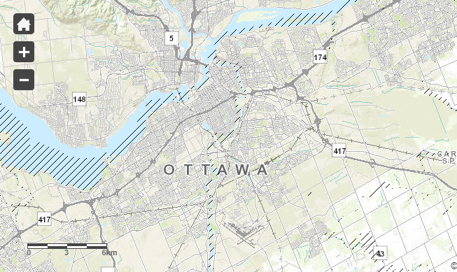
Flood plain mapping identifies the areas that may experience flooding due to rising water levels in a watercourse. An interactive flood plain map which uses flood hazard mapping produced by the local Conservation Authorities in partnership with the City is now available. The map shows three different flood events:
- A large flood event which has a 2 per cent chance of happening in any given year. Also known as a 1 in 50-year flood
- A regulatory flood event which has a 1 per cent chance of happening in any given year. Also known as a 1 in 100-year flood.
- A more extreme flood event that could occur with climate change. Also known as a 1 in 350-year flood.
The effect of climate change on the magnitude and probability of future flood events is difficult to predict. Local climate projections for the National Capital Region indicate trends of warmer temperatures, increased amounts of rain (including in the winter and spring), as well as more intense rainfall. This can all affect river levels and flows. The 1 in 350-year flood event was selected as an appropriate larger flood event for assessing potential changes in riverine flood hazards and risks due to climate change.
Purpose and use of flood plain mapping
Floodplain mapping is critical for the effective management of riverine flood risks through the prevention/mitigation of risks, protection of people and property, and emergency preparedness and response planning. Effective hazard and risk management will often involve a combination of measures. The City, Conservation Authorities, and property owners all have a role to play in flood risk management. As per the City’s Official Plan, for example, any new development in a 1 in 350-year flood area must demonstrate how it will mitigate the risks of more severe flooding.
How are these maps being used to inform the Climate Resiliency Strategy?
The 1 in 350-year flood hazard maps are being used to inform the development of the Climate Resiliency Strategy. The maps can be used to identify which communities, parks and infrastructure could be affected by more severe flooding. The information is being used, for example, to inform plans to ensure continued service at the City’s water purification plants and wastewater treatment plant.
Consultation has concluded
